Tuesday, 2pm update: the National Weather Service Forecast Discussion says:
Expect precipitation to
be done across most of the Tri-state by 6pm, with the entire
area in the clear by 8pm.

Tuesday 6:30am update: It’s like someone turned on a fire hose on our house. It didn’t last long, but it was impressive.
Follow today’s rains with the following weather radar sites:
Go for the wide view at the NWS national radar site. It does run about 30 minutes behind real time. For local, more up to date radars, click on the map.
Weather Underground local radar – you can go to the list of sites at the header on that and find your location.

Here comes the humidity from the former tropical system Florence. The radar map at 3:30pm EDT shows the winds from the low circling over Kentucky. The largest area of rain is well out ahead of Florence, as its moist air is pushed up over a front to its north. I can feel the increase in humidity, and we have a few sprinkles reaching the ground this Monday afternoon near NYC.

Note the thin, broken, but intense, line of storms extending southwestward from DC into the Carolinas. As of Tuesday afternoon, a tornado watch is in effect from DC into southern Virginia. Tornadoes were reported near Richmond, VA.
The remaining low pressure system will track across New York City,

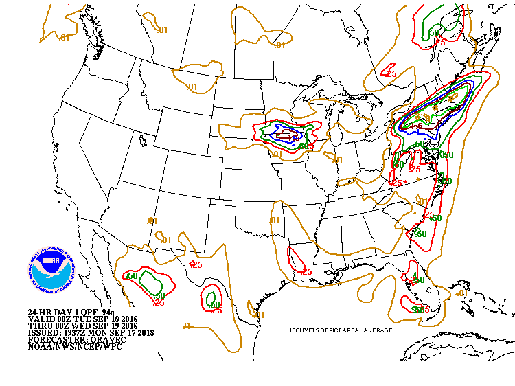
but the heaviest rain will be inland over central Pennsylvania, Hudson Valley New York, Massachusetts and northern Connecticut. The NYC / Northern New Jersey area will get an inch or so of rain, sometimes in downpours. Interior northeastern states could get five inches, with more here and there.
The fronts will sweep Florence out to sea and bring in cooler, drier air for the northeast for Wednesday and Thursday. Summer, perhaps with poorer air quality, comes back on Friday before showers and another front late Friday into Saturday (and into Sunday from Philadelphia southward) bring another shot of cooler air to start next week.
